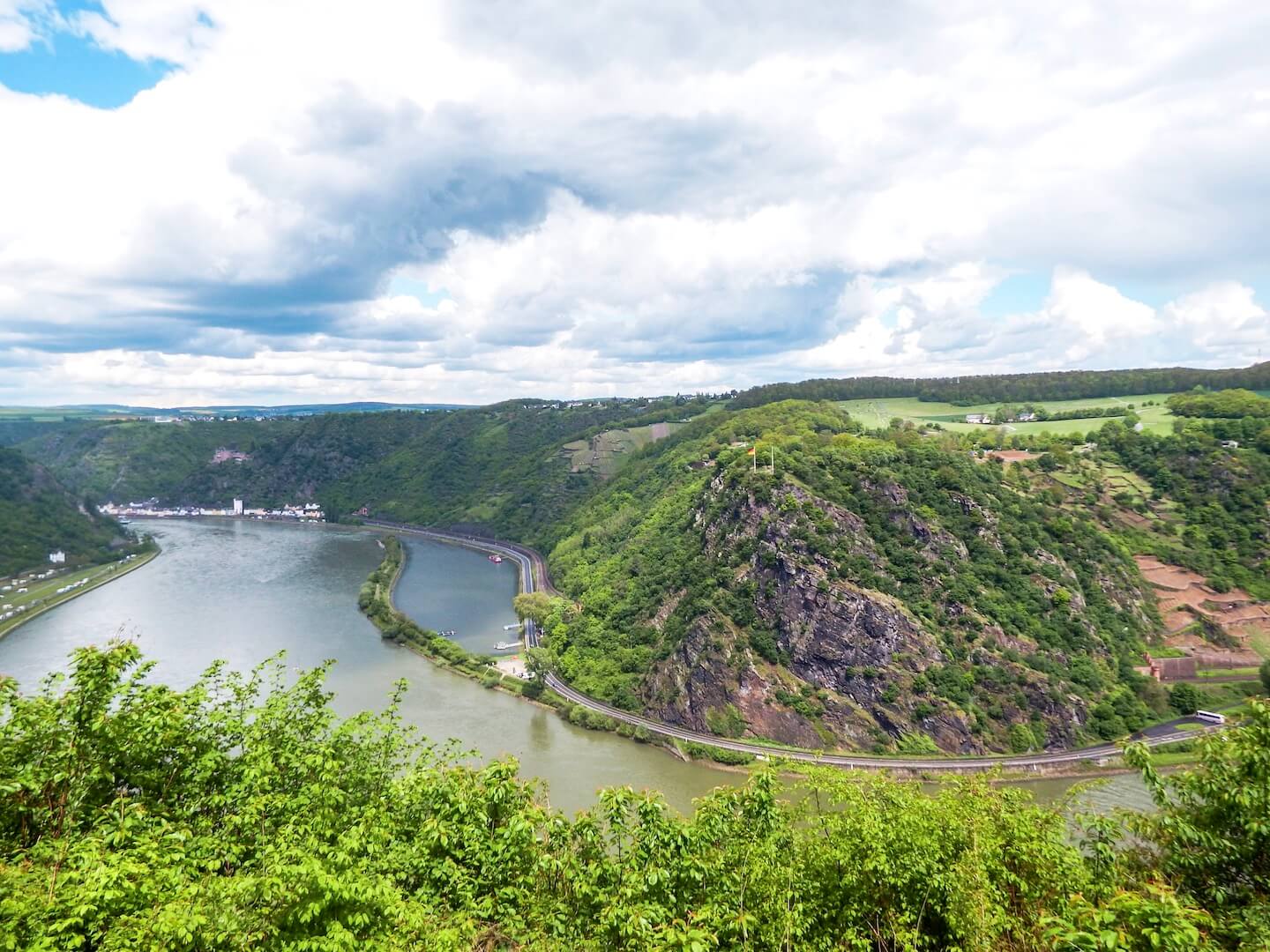
The Upper Middle Rhine Valley is one of the most romantic places in Germany.
Fortunately, there are many different ways to enjoy the region: by boat, by bike, by train, and by foot.
There are two main hiking trails in the Rhine Gorge: RheinSteig and the RheinBurgenWeg (Rhine Castle Trail).
The RheinBurgenWeg (Rhine Castle Trail) is a 200-km route that stretches from Rolandsboden to Bingen. The trail is divided into 13 stages.
Rhine Castle Trail Stages South to North
Stages 1 through 7 are in the are in the Upper Middle Rhine Valley (Oberes Mittelrheintal). Stages 8 through 13 are in the Lower Middle Rhine Valley (Unteres Mittelrheintal ).
- Upper Middle Rhine Valley Stage 1: Bingen – Trechtingshausen (10.6 km, 4 hours)
- Upper Middle Rhine Valley Stage 2: Trechtingshausen – Bacharach (21.6 km, 7 hours)
- Upper Middle Rhine Valley Stage 3: Bacharach – Oberwesel (13.3 km, 4:30 hours)
- Upper Middle Rhine Valley Stage 4: Oberwesel – St. Goar (8.8 km, 3 hours)
- Upper Middle Rhine Valley Stage 5: St. Goar – Bad Salzig (19.2 km, 6 hours)
- Upper Middle Rhine Valley Stage 6: Bad Salzig – Rhens (15.6 km, 4 hours)
- Upper Middle Rhine Valley Stage 7: Rhens – Koblenz (13.2 km, 5:30 hours)
- Lower Middle Rhine Valley Stage 8: Koblenz – Winningen (14.6 km, 5 hours)
- Lower Middle Rhine Valley Stage 9: Winningen – Bassenheim (15.7 km, 6 hours)
- Lower Middle Rhine Valley Stage 10: Bassenheim – Andernach (13.7 km, 4 hours)
- Lower Middle Rhine Valley Stage 11: Andernach – Bad Breisig (19.4 km, 6:30 hours)
- Lower Middle Rhine Valley Stage 12: Bad Breisig – Remagen (15.7 km, 5 hours)
- Lower Middle Rhine Valley Stage 13: Remagen – Rolandsbogen (14 km, 4:30 hours)
Rhine Castle Trail: Oberwesel to Sankt Goar

We hiked Stage 4 of the RheinBurgenWeg, between the towns of Oberwesel and Sankt Goar.
This 8.8 km hiking route begins steeply as you ascend through vineyards overlooking the river.

After roughly 1 km, you’re confronted with a choice of hiking the more challenging trail via Maria Ruh and Oelsbergsteig (6.8 km to Sankt Goar), or a slightly longer trail via Skulpturenweg and Günderodehaus (7.6 km to Sankt Goar).
We opted for the route via Oelsbergsteig, which is a short via ferrata section, with fixed ropes and stirrups to help you manage the near vertical climb.

The hike winds through a verdant forest and plateaus in a rapeseed farm region.
When we hiked in mid-May, the rapeseed fields were in full bloom.
At Maria Ruh, you’ll be rewarded with a view of the Loreley Rock and Burg Katz, a castle first built around 1371 and rebuilt in the late 19th century, after being bombarded by Napoleon. This hike took 3 hrs.

Continue reading about Germany:
- Upper Middle Rhine Valley Travel Guide
- Hiking the Rheinsteig Trail in the Rhine Valley
- Moselle Valley Travel Guide
- Germany Travel Guide
- Ahr Valley Travel Guide
- Eifel Travel Guide
- Cologne City Guide
Recommended Guidebook: Rick Steves Snapshot Rothenburg & Rhine Valley
Learn more about hiking in Europe:


